Full index
Projects and analysis
A mixture of things I wanted to build, questions I wanted to investigate and work that grew out of my research. Recent projects have taken me further into application development; older ones are mostly spatial analysis, statistics and maps.
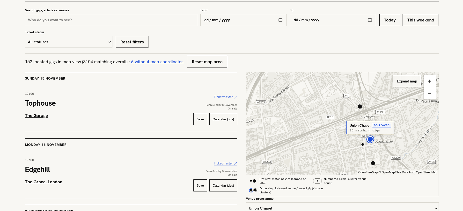
Giggity - London gigs
An attempt to stop missing smaller gigs. Bringing together APIs listings and London venue programmes, while learning how to turn a data pipeline into a working web app.
 GIS · Network Simulation
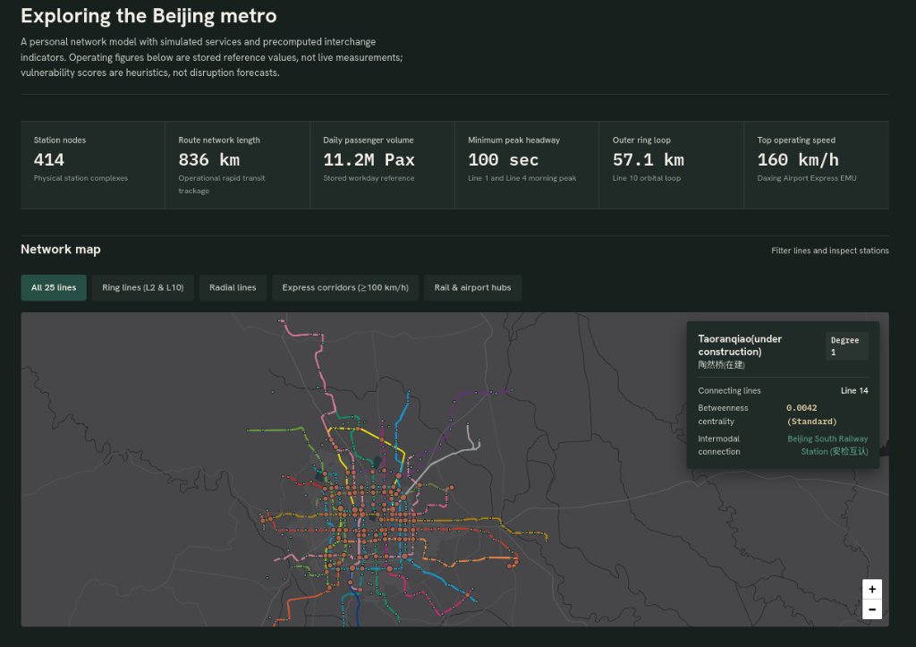
TransitFlow - metro network modelling
A fun experiment in building a metro-network model, starting with Beijing and seeing whether the same approach could work across other cities.
 GIS · Spatial Regression
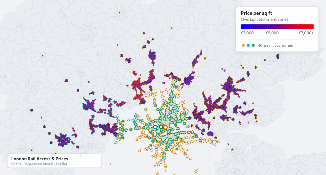
House prices and London rail access
Began for my sister as she looks to buy a house. How much does access to the railway matter for London house prices, and does the relationship look the same everywhere?
 Machine Learning · Network Regression
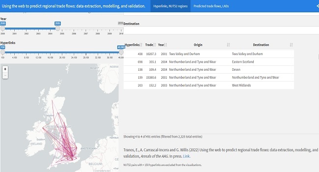
Regional hyperlinks and trade flows
Can links between websites tell us something about trade between regions? Research combining web data, network analysis and predictive modelling. Published in the Annals of the American Association of Geographers.
 GIS · Travel Catchments
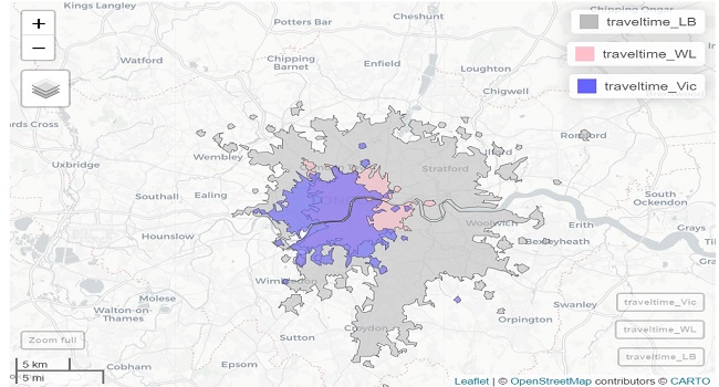
Location choice - London travel catchments
Made as me and my mates moved to London so we could all be close to the right station. Solved arguments and interesting to see.
 GIS · Spatial Kernel Density
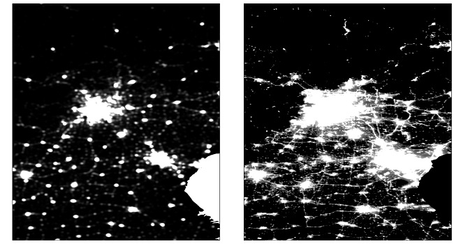
Finding Beijing’s urban extent
Combining satellite night lights and points of interest to investigate where Beijing’s built-up area ends and its surroundings begin.
 GIS · Satellite Radiometry
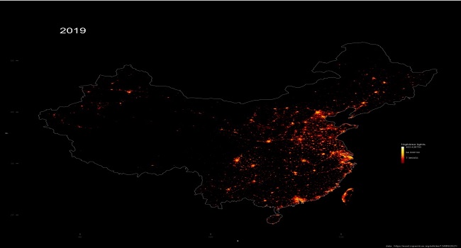
China’s night lights, 2000–2019
Twenty years of harmonised satellite night-light data, brought together in an animation to explore how patterns of light i.e urban extent, changed across China.
 Machine Learning · Tree Diagnostics
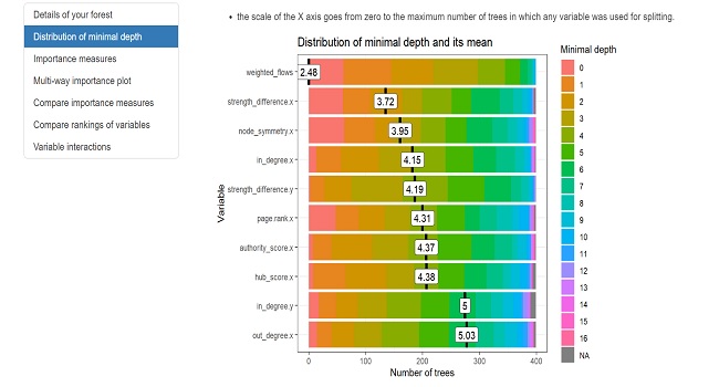
Random forest - variable importance diagnostics
Looking more closely at which variables a random forest relies on, and what its importance scores mean.
 Machine Learning · A/B Testing & Inference
A/B testing, worked example
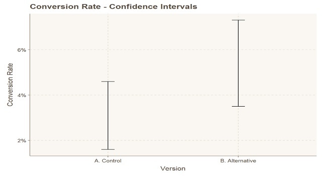
A worked example covering effect sizes, uncertainty and the point at which a difference becomes convincing.
 Data Engineering · Spatial ETL
Hyperlink data processing pipeline
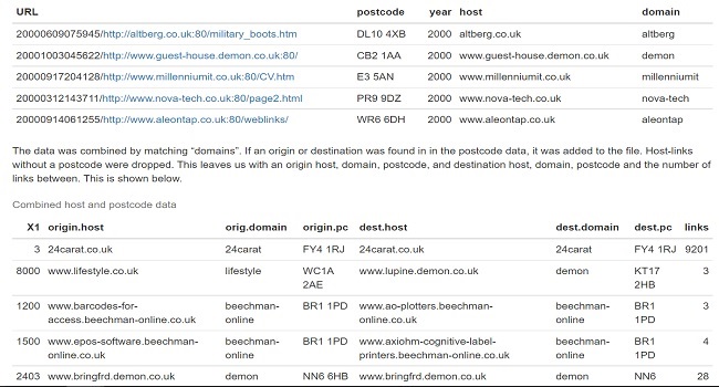
The work behind the hyperlink research: cleaning domains, resolving locations and connecting web records to geographic boundaries.
No projects match the current filter.